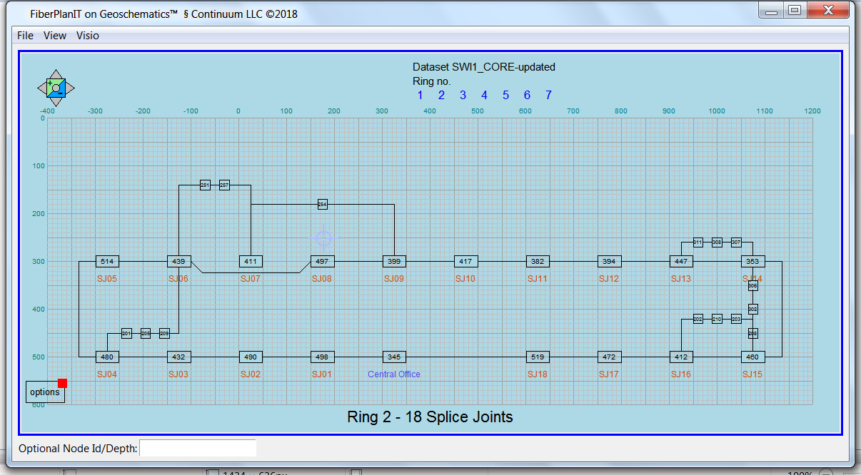
Geoschematics software was originally written in Magik, an object-oriented language that runs in conjunction with GE Smallworld GIS. It was available only as Magik code until 2018, when several customers requested a standalone version to create schematic drawings from AutoCad dxf files and ESRI Shapefiles. In response, we ported the software to Python, and created standalone executables.
Now Geoschematics on Python generates the same schematic diagrams as original Geoschematics, and can be embedded in any Windows software. That means utilities, telecoms and anyone else looking for a schematic solution have a powerful drafting engine available that they can add to any GIS application. It can be run with a customized interface that operators use to pick and choose the boundaries and objects in each diagram.
Geoschematics on Python is delivered as compiled executable code, so it runs standalone, without the Python IDE, which is usually installed on processors running Python.
Copyright © 2017-2020 CONTINUUM LLC All Rights Reserved
